Professional Land Surveying Services

Accurate geospatial solutions for construction, development, and land management projects across Kenya and East Africa.

Get a Free Quote Our Services

Our Professional Services

Comprehensive geospatial solutions for all your land development needs

Land Survey

Land Survey

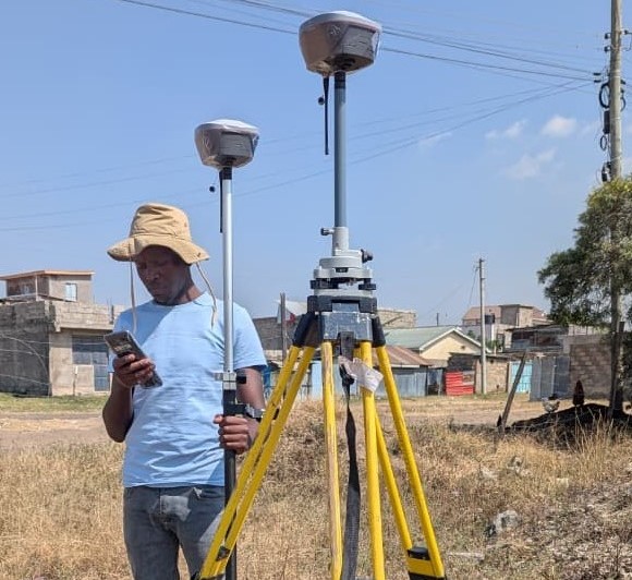
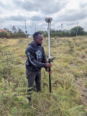
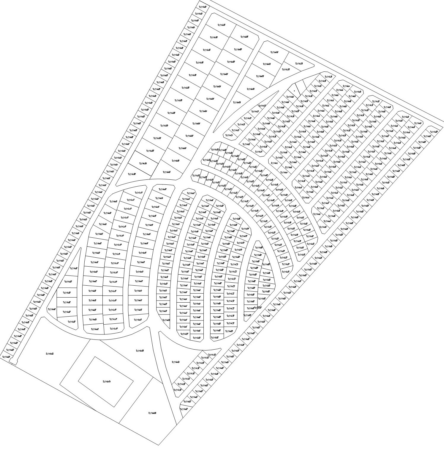
Preparation of subdivision schemes, placing of exact boundary beacons for fixed and general boundaries and fast obtaining of titles/leases.

  • Preparation and approval of subdivision schemes/masterplans
  • Beacon placement
  • Beacon re-establishment
  • Survey report
  • Compilation of survey file
Conveyancing Services

Conveyancing Services

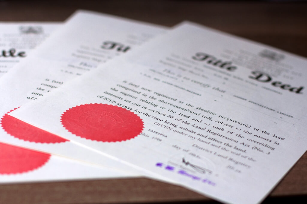
Legal documentation and transaction support for property transfers.

  • Title searches (green card and white card)
  • Title and lease transfers
  • Title conversion
  • Change of use/user
  • Land succession
  • Allotment/grant letters
  • Lodging a caution
Sectional Properties Survey

Sectional Properties Survey

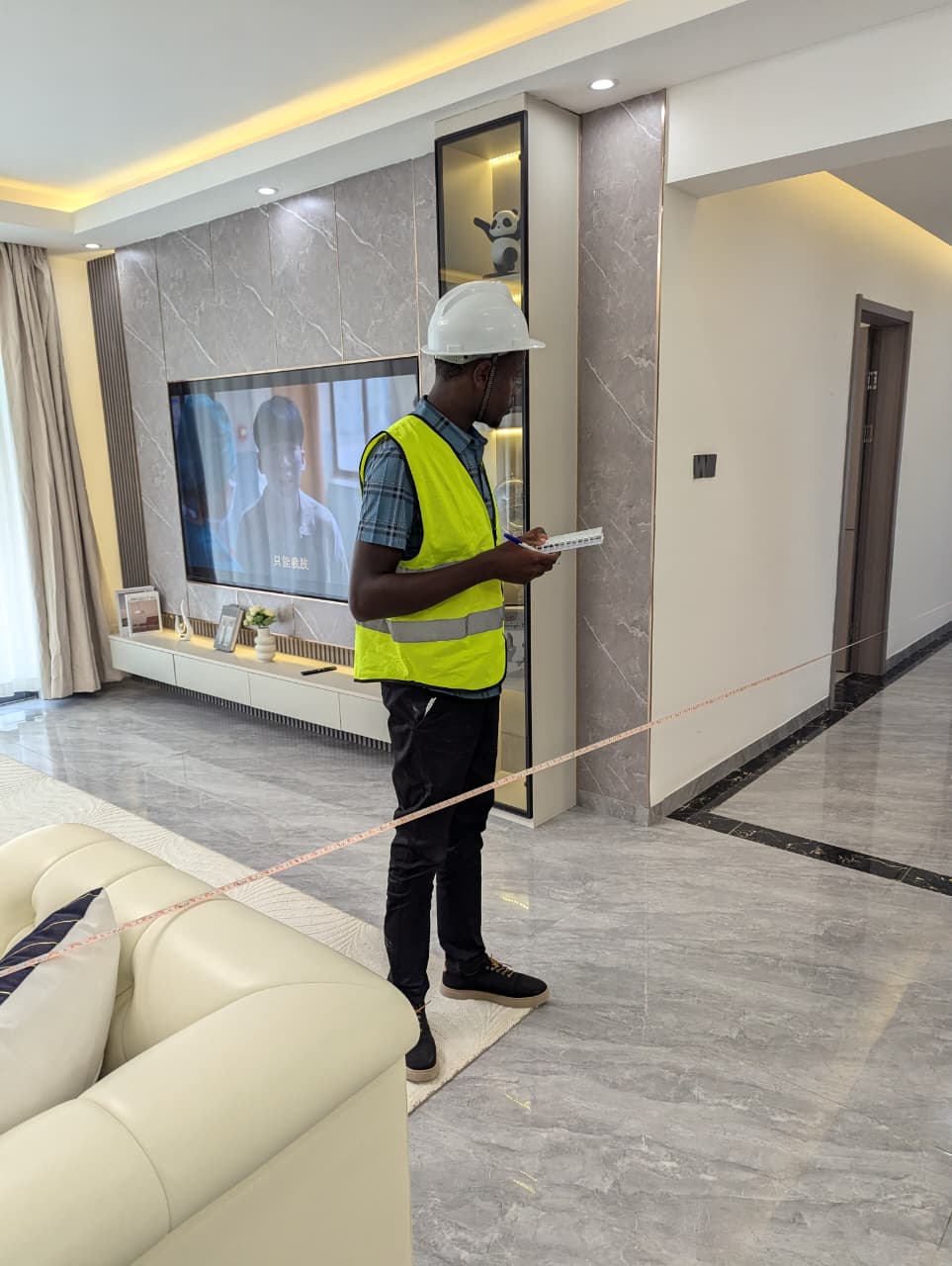
Specialized surveys for apartments, duplexes, warehouses and commercial complexes.

  • Unit boundary definition
  • Common area mapping
  • Enhance endorsement of sectional plans
  • Submission and approval of sectional file
  • Obtaining of new sectional titles
  • Sublease conversion to sectional titles
Topographic Survey

Topographic Survey

Detailed terrain mapping for architects and engineers.

  • Establishment of Controls
  • Feature mapping
  • Contour mapping
  • Infrastructure design (roads, bridges, sewerlines, drainage)
Site/Engineering Survey

Site/Engineering Survey

Construction support from planning to as-built verification.

  • Setting out
  • Levelling
  • Cut and Fill volume calculations
  • Deformation monitoring
Equipment Hire

Equipment Hire

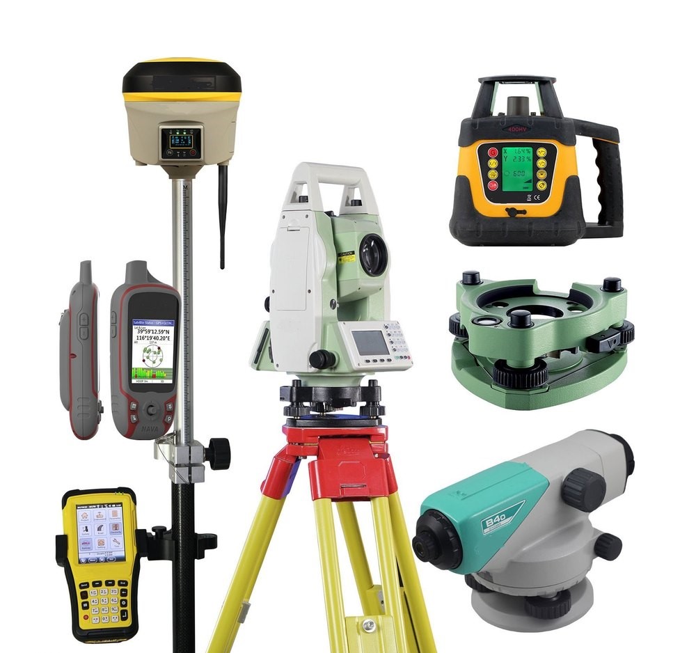
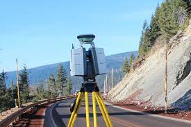
High-precision surveying tools with optional operators.

  • GNSS base and rovers
  • GNSS Cors
  • Manual and Robotic Total Stations
  • Automatic and Digital levels
  • Laser distance meters
Hydrogeological Survey

Hydrogeological Survey

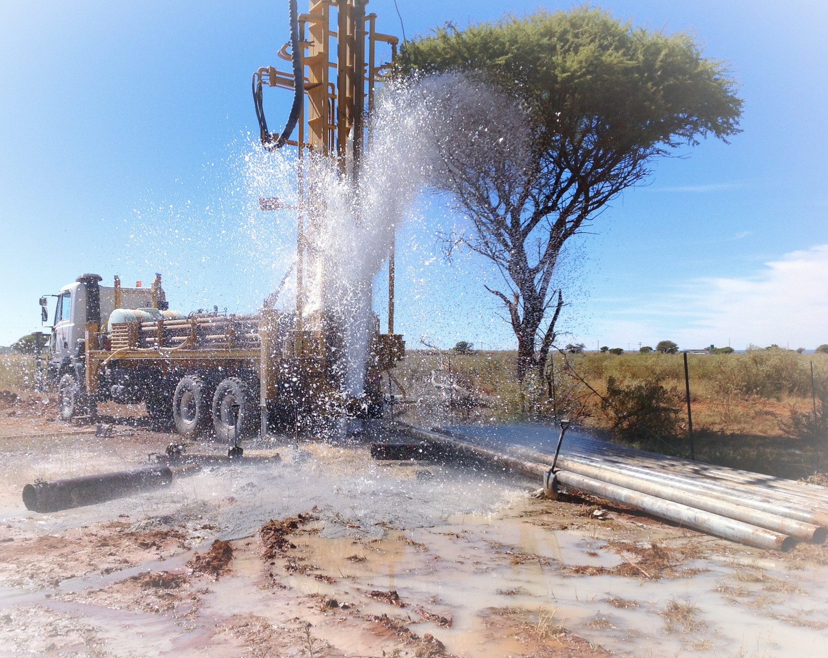
Groundwater assessment for borehole drilling projects.

  • Location of precise borehole location
  • Aquifer mapping
  • Yield testing
  • Water quality analysis
Hydrographic Survey

Hydrographic Survey

Underwater mapping for marine construction and dredging projects.

  • Bathymetric surveys
  • Submerged feature mapping
  • Sediment analysis
  • Dredging volume calculations

Our Recent Projects

Explore our portfolio of completed surveying projects across East Africa

Meet Our Team

Our team of licensed surveyors and geospatial experts

Bonface Koome

Bonface Koome

Head Land and Engineering Surveyor

Professional surveyor well experienced in land management and geospatial solutions. Specializes in cadastral surveys, sectional properties surveys, and setting out works. Highly skilled in engineering surveys, land subdivision, and GIS applications. Bonface leads our team with expertise in modern surveying technologies and methodologies.

Latest Articles & Resources

Industry insights, technical guides, and company updates

Professional Training Programs

Enhance your surveying skills with our certified courses

Career Opportunities

Join our team of geospatial professionals

We are currently not hiring, but you can send your resume and application stating your preferred position to info@spectrageosystems.co.ke

Contact Us

Get in touch for inquiries or service requests